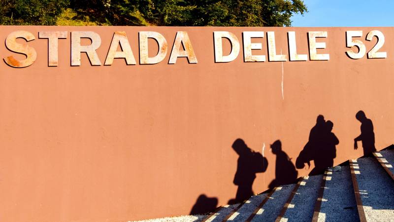
Mountains and First World War
First World War Ecomuseum
DETAILS
LENGTH
DIFFICULTY
DIFFERENCE
- Excursion
- Walk
- mountain
- great war
- Historical itinerary
- Ecomuseum
Description
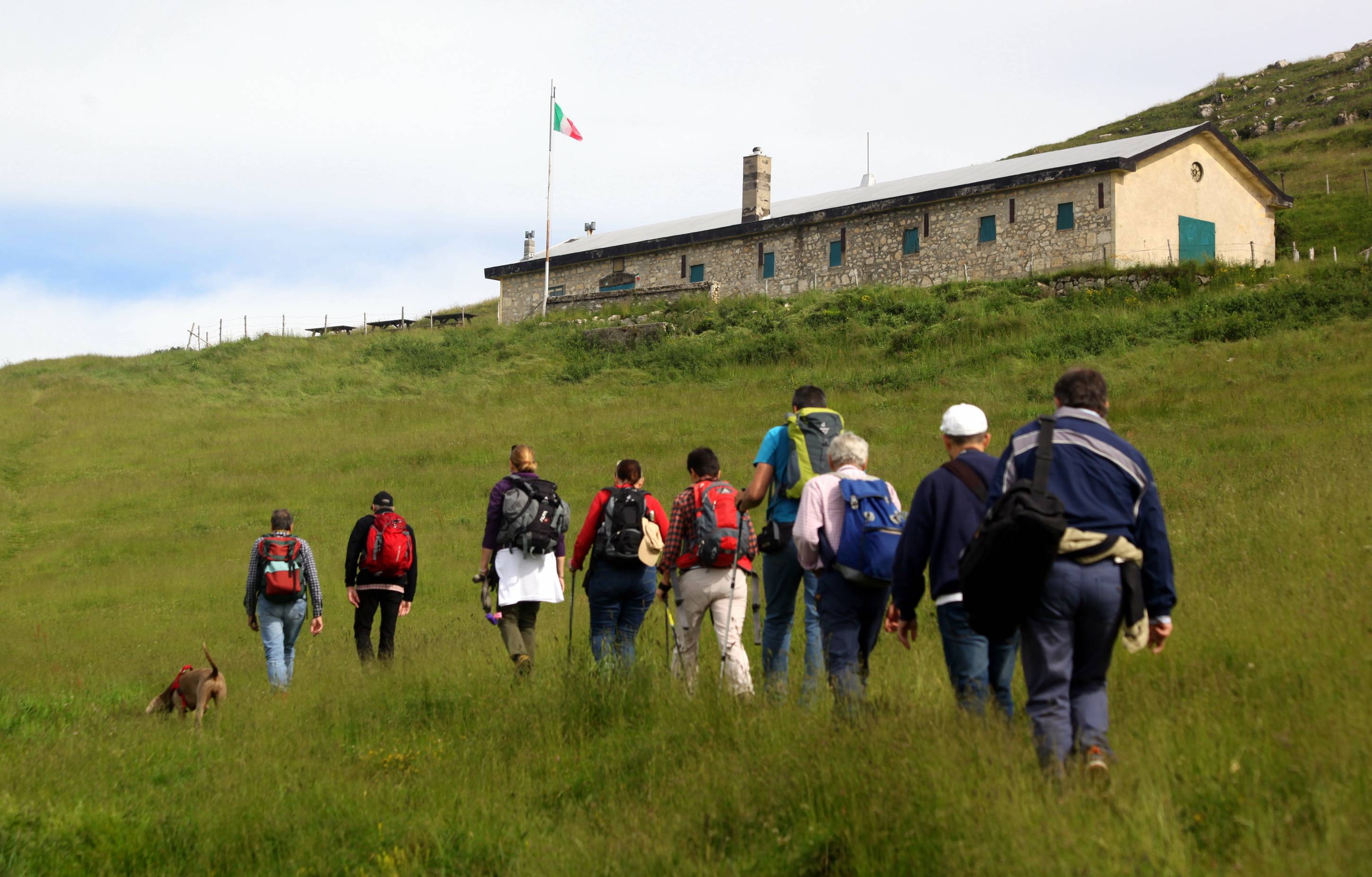
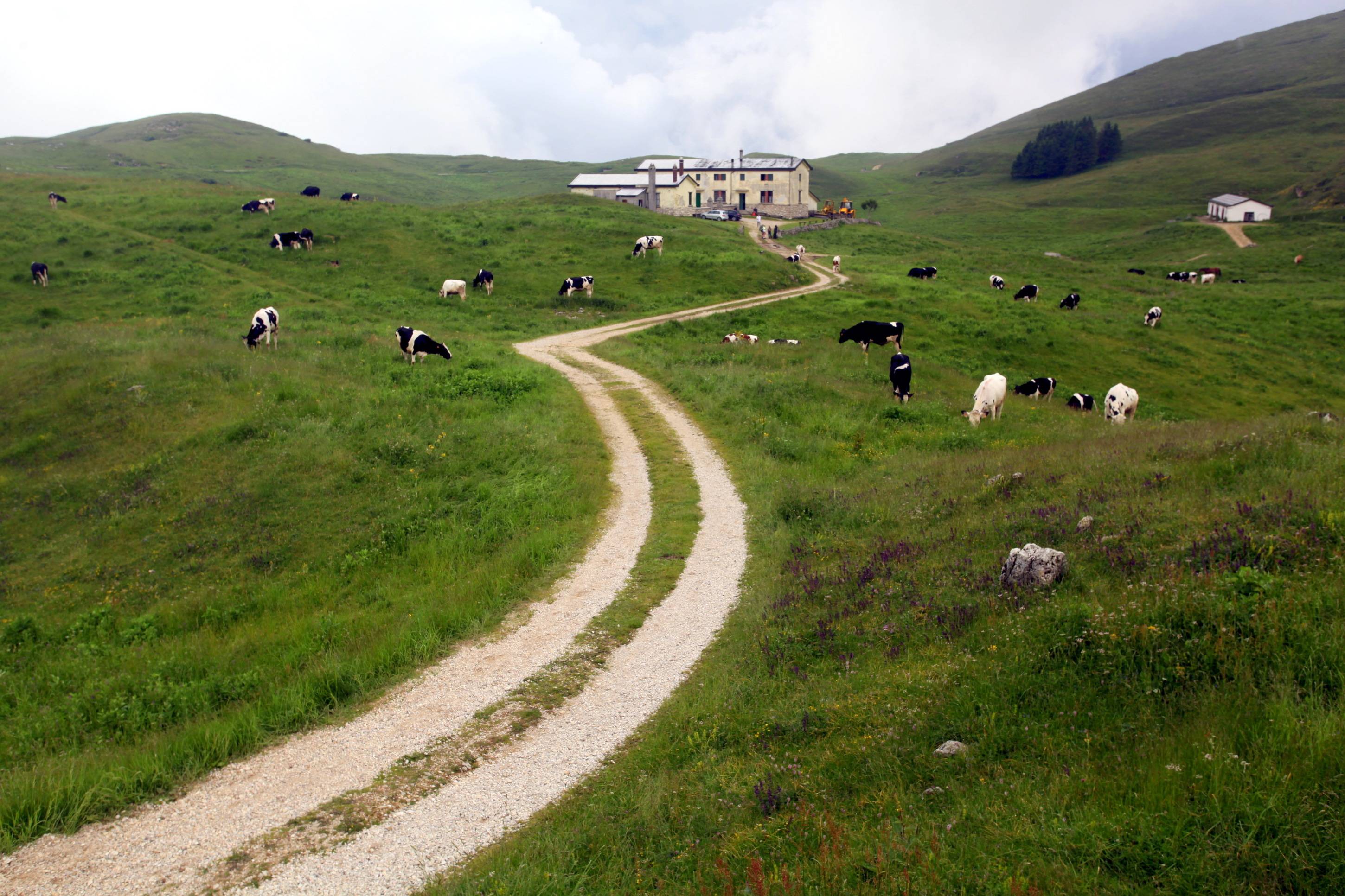
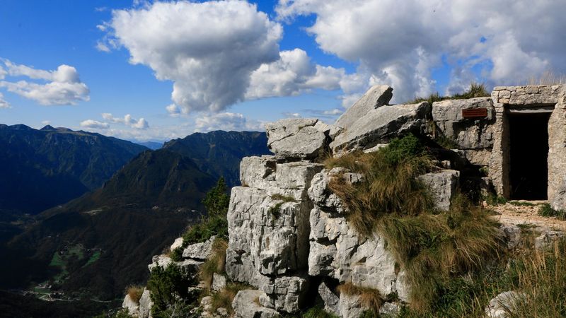
FROM BUSA NOVEGNO TO FORTE RIVON THROUGH MONTE CIMETTA
Once left the carpark and reached busa monte Novegno, in the vicinity of Pozza Lunga, turn right on the unpaved street. Then, enter the path which leads to malga Davanti (Pandenon Davanti), go beyond the mountain pasture and continue straight on the path slightly uphill. Turn left and go down until reaching the path to cima Novegno, little hill which during the First World War was modified to make it suitable for artillery usage.
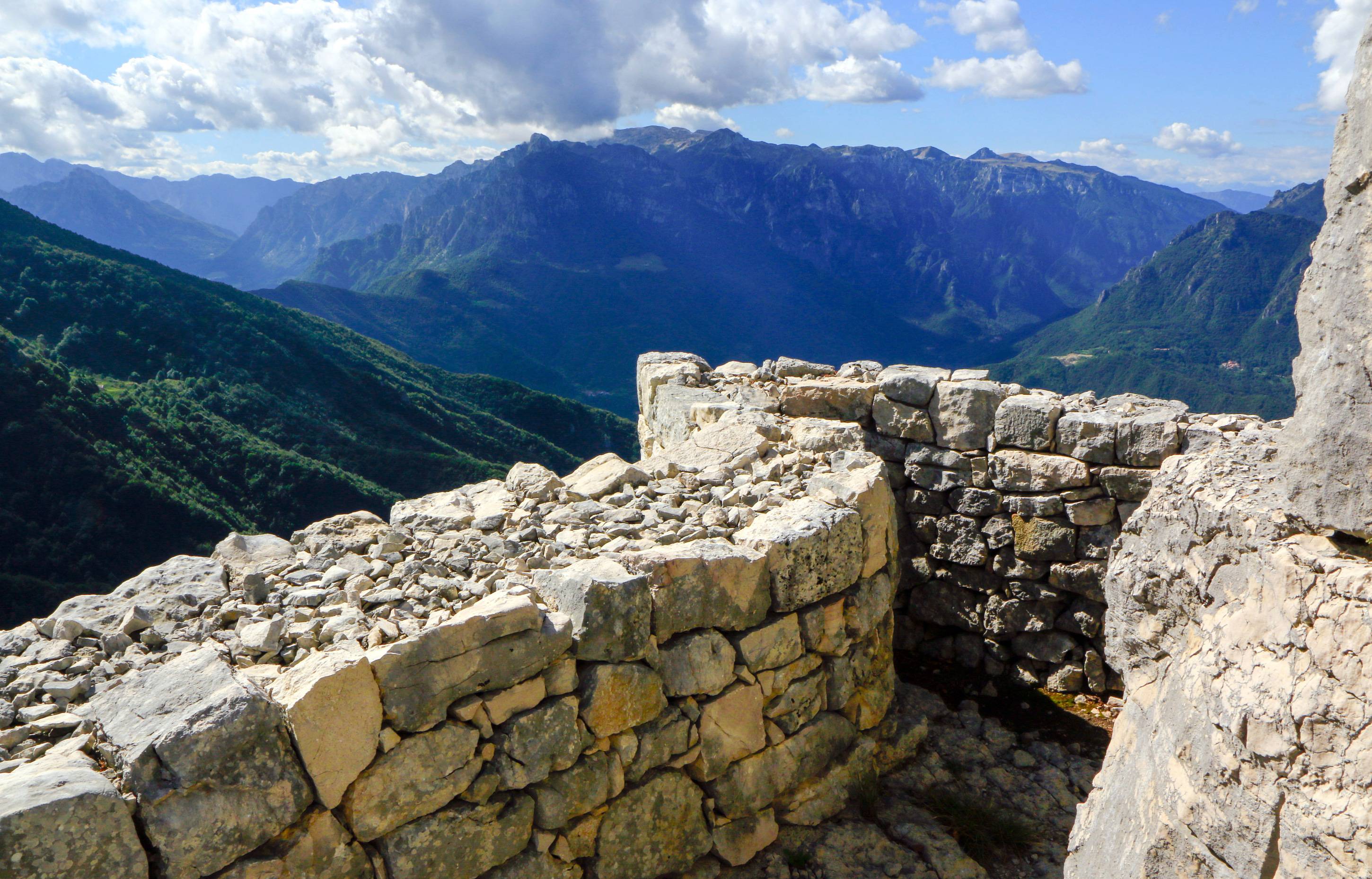
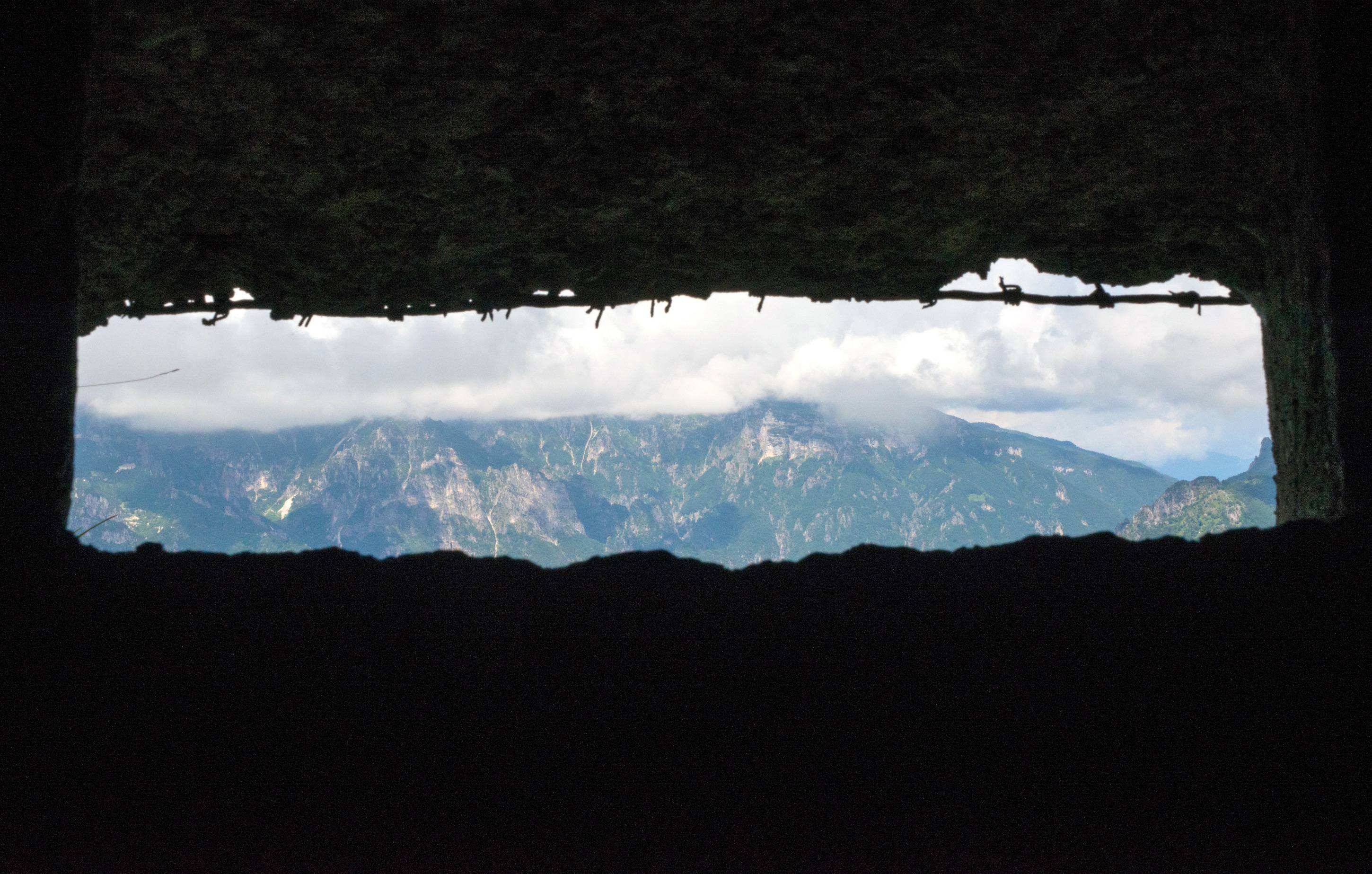
Go down again and then up towards Cimetta. Follow the indications carefully to reach Cima la Buca. By going round it you will see little caves and entrenchments. Go down to take the path to busa Novegno; at the pass you will see the fence which encloses the altar and marble strains in remembrance of all the remains that had taken part to the defence of the Novegno.
Cross the mule track, before entering busa Novegno, turn right passing through the remains of the command of the 35th division; here, the general Petitti di Roreto, defence commander of Novegno who imparted orders to his soldiers. Proceed along passo Vaccarazze, on level mule track, and you will start climing Mount Rione to reach Forte Rivon.
Gallery
Related
Nearby

EVENT IN EVIDENCE
Exhibitions
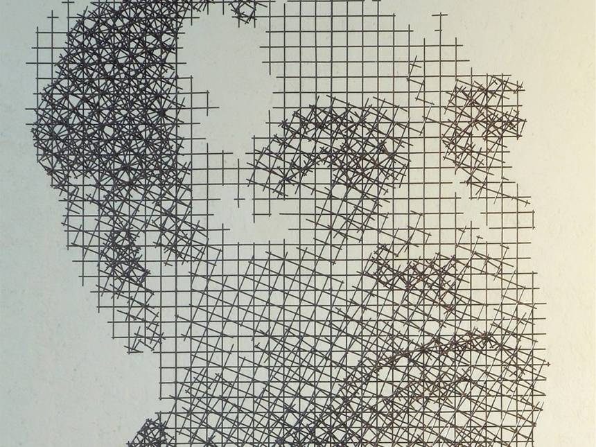
Pio Penzo Antologica
Celebrazione per il centenario della nascita 1926 - 2026. Esposizione di numerosi acqueforti che raccontano i temi più cari all'autore
Start: June 20, 2026
End at: August 09, 2026
Sun: 10:00 - 13:00, 16:00 - 19:00
Sat: 10:00 - 13:00, 16:00 - 19:00