Mountains and First World War
First World War Ecomuseum
DETAILS
LENGTH
DIFFICULTY
DIFFERENCE
- Excursion
- Walk
- Historical itinerary
- great war
Description
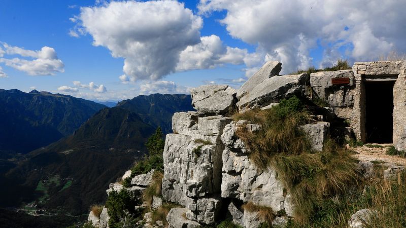
FROM COLLETTO PICCOLO TO FORTE RIVON THROUGH CAMPDELLO AND MONTE CIOVE
This path is undoubtly the most challenging due both to its lenght and difference in altitude. However, it holds many testimonies of the First World War so is really worth the effort.
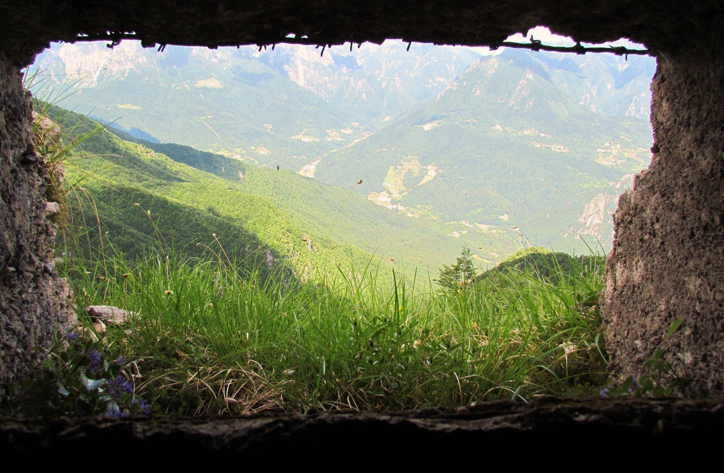
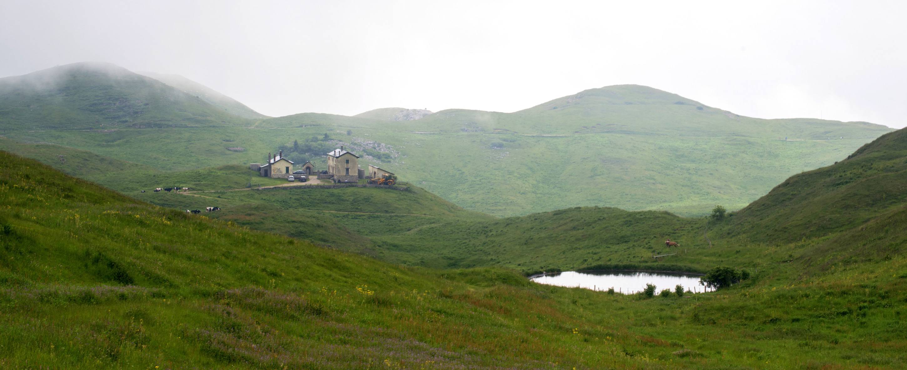
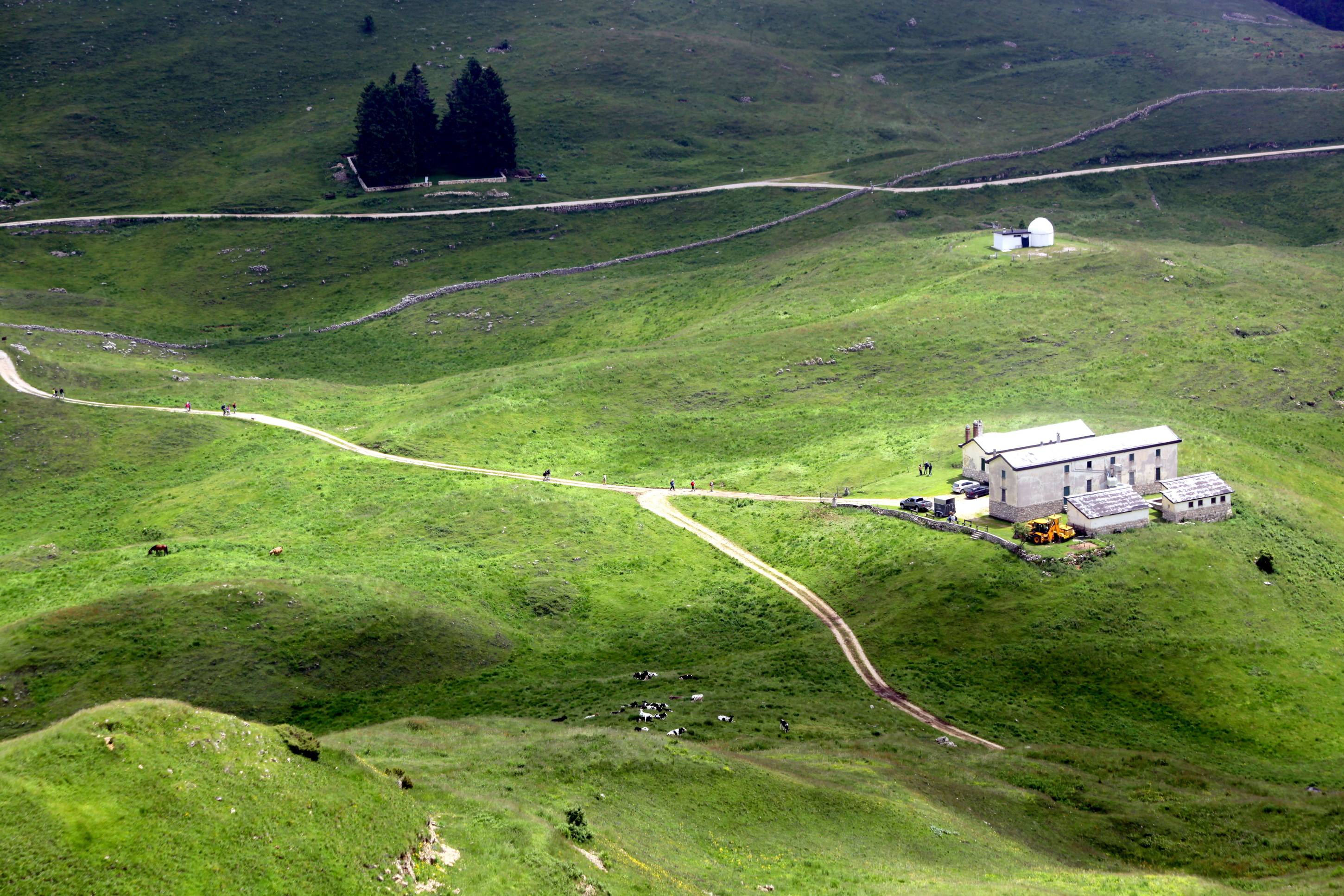
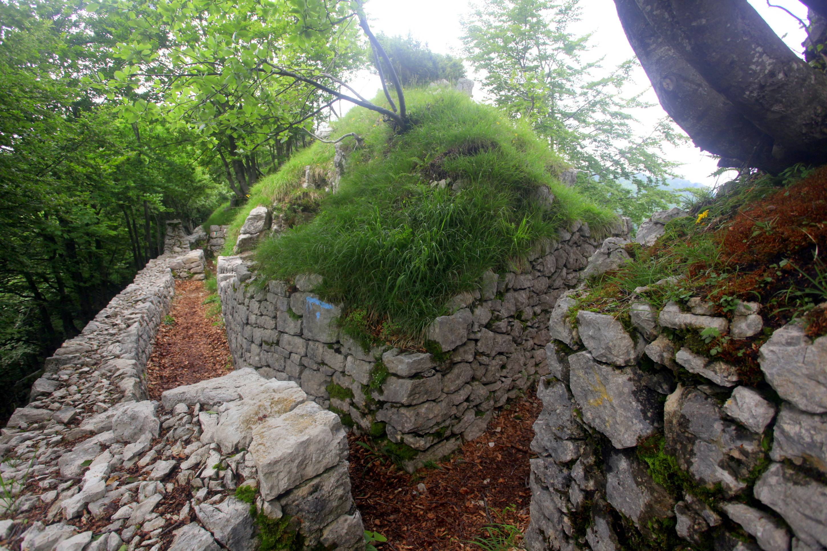
The starting point is Colletto Piccolo, reachable from Bosco di Tretto by taking the road towards Monte Summano. At first, you will cross a large mule track which you will leave then to climb a path that crosses Rozzo Covole. Once reached the Sailler observatory you will recover the mule track; along the way you will be able to see numerous important military buildings such as forts, caves, observatories, casemates and countless trenches.
After Sailler observatory you recover the path going straight on the mule track and crossing a relaxing plain. At the end of that, by following the tricolour path, you will go right. After a while you will reach a little plain, on the right there will be some fortified works. you can now go along a steep climb, the turn left to find the place where grenade injuries caused the death of the Captain of the Alpine Tito Caporali.
To witness it there is a little altar and a marble memorial stone. Going back along the path, turn left on the mule track which crosses the ridge of Monte Ciove. From here, going straight on passo Campedello, you will go around the north side of Cima Alta, crossing an easy and shaded by beeches mule track. That way, you will soon get to passo di Vaccarazze from where you will be able to see the cippus and the column. Follow the main street until the crossroad with the sampled road. From here, climb towards cima Rione, through a path which crosses some hairpin bends, to reach the Forte Rivon peak.
Gallery
Related

Nearby

EVENT IN EVIDENCE
Musica
Graal
Rito sonoro e visione con i musicisti Vincenzo Zitello e Fulvio Renzi, presso Agr. Il Maggiociondolo. Evento facente parte della...
Start: 08 Aug 18:00
End at: 08 Aug 19:30