Mountains and First World War
First Wordl War Ecomueum
DETAILS
LENGTH
DIFFICULTY
DIFFERENCE
- Desk
- walks
- Routes
- great war
Description
FROM BUSA NOVEGNO TO FORTE RIVON THROUGH PRIAFORA'
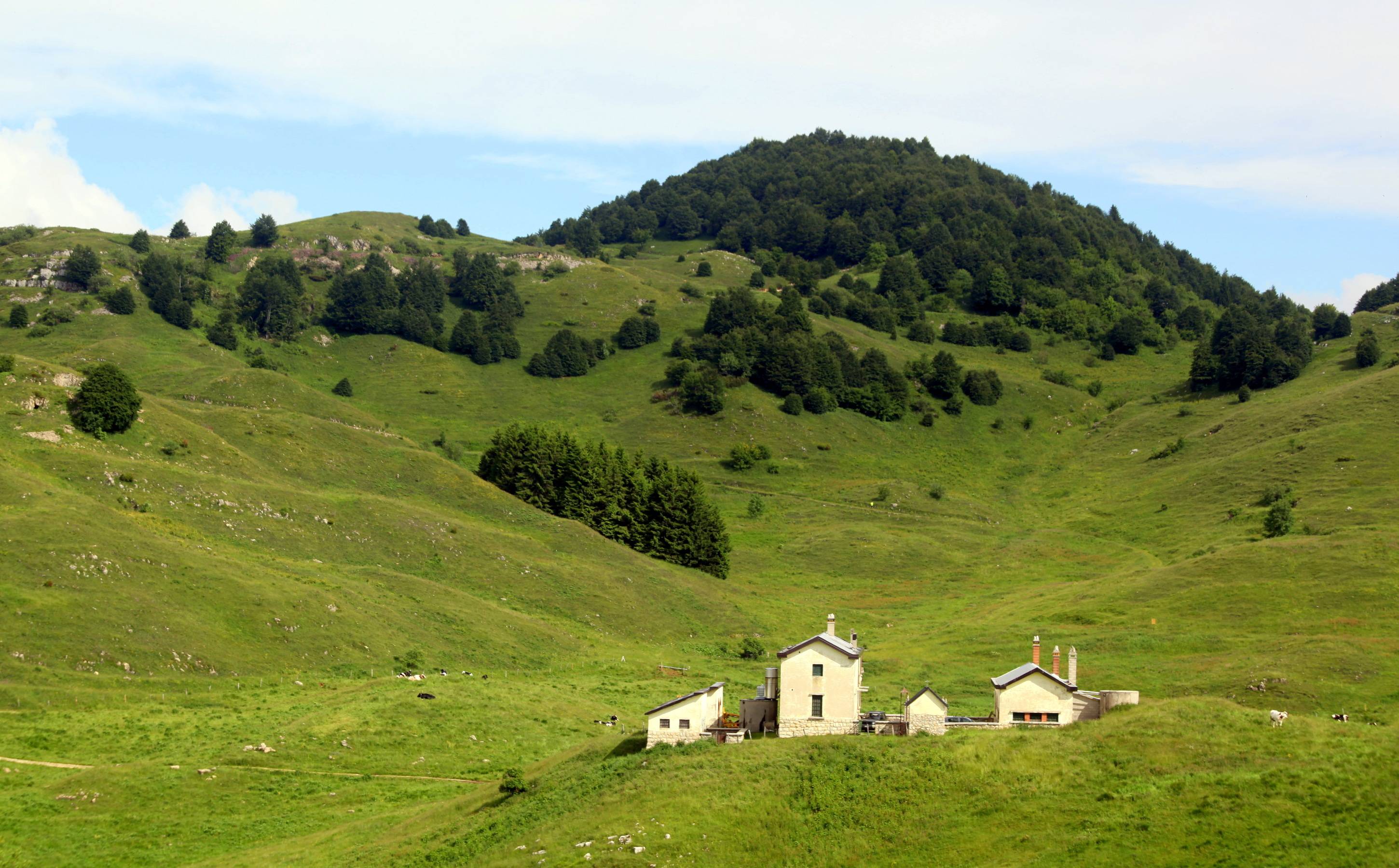
Once left the carpark and reached "busa del monte Novegno", in the vicinity of Pozza Lunga, turn right on the unpaved street. After having passed the cementery and having reached the crossroad, turn right again and go straight until reaching malga Campedello; keep descending and you will arrive at the homonymous path.
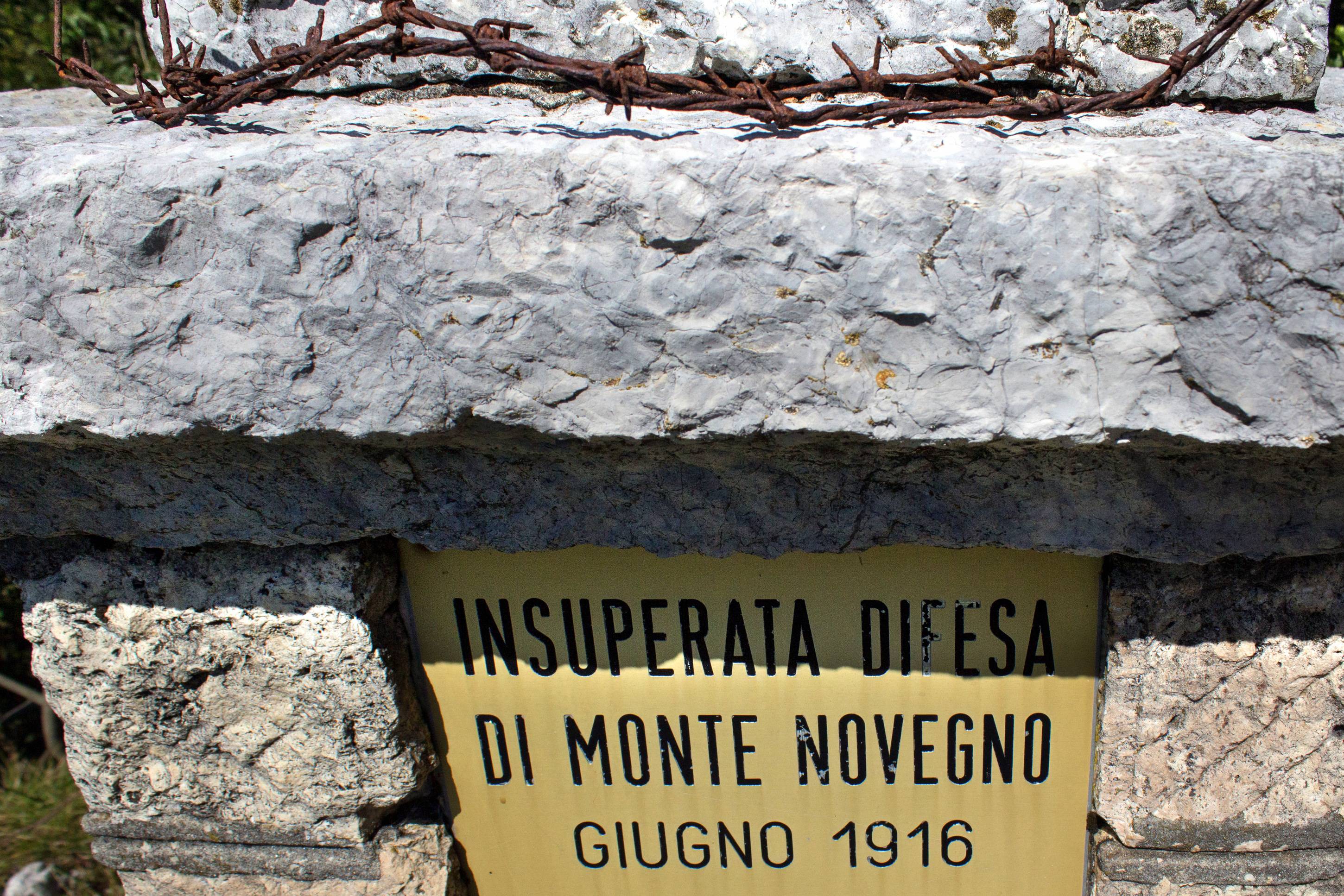
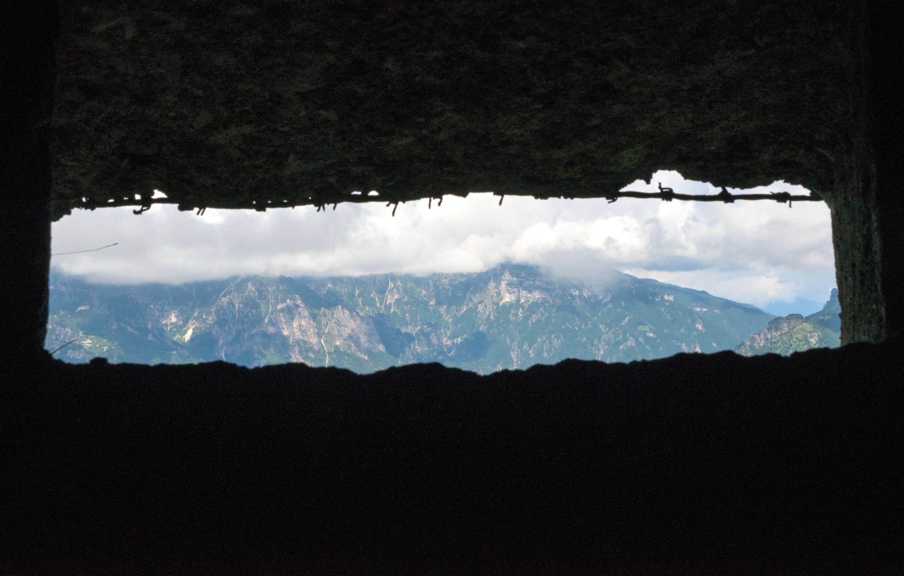
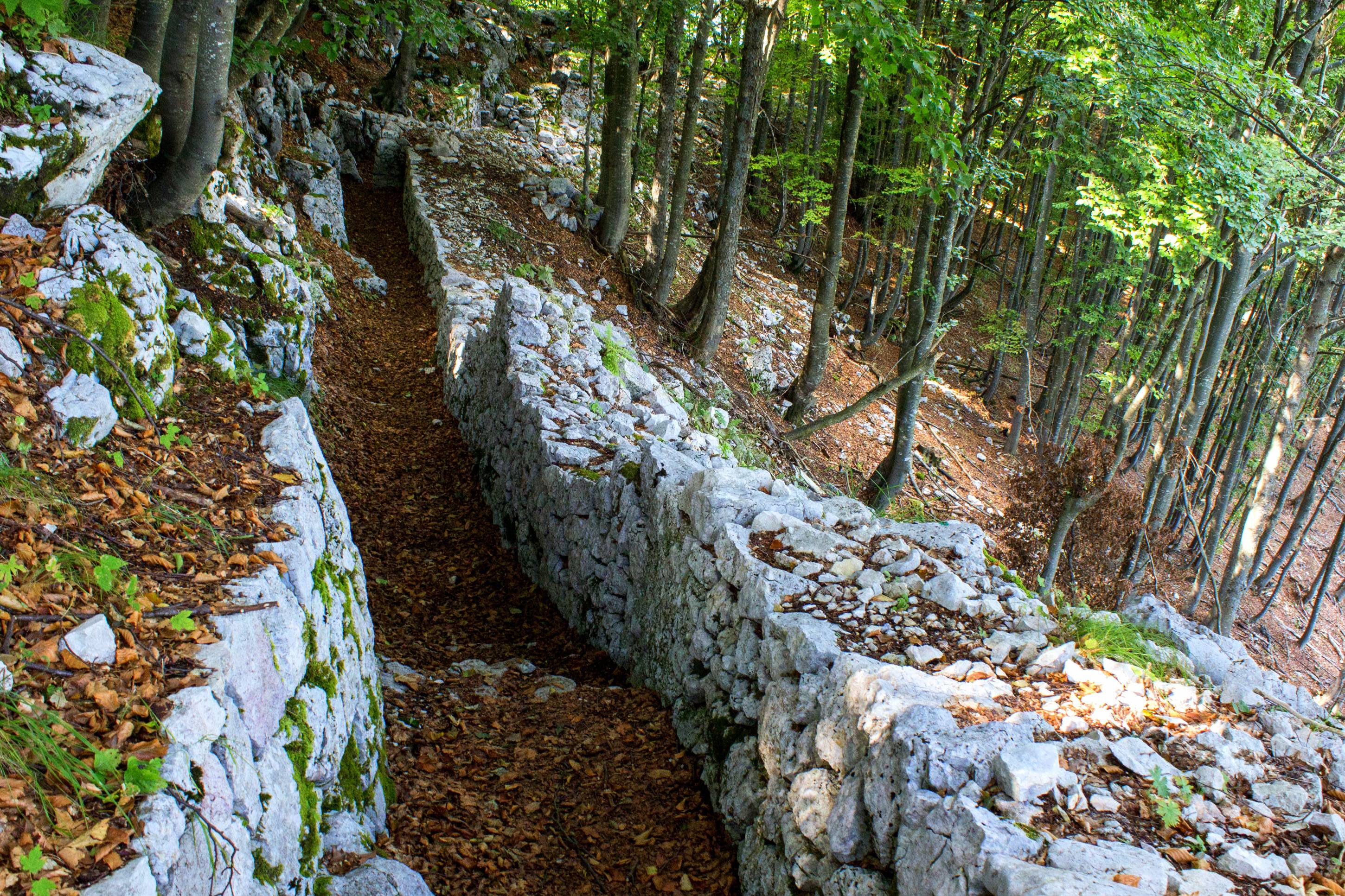
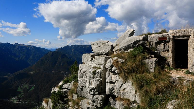
After leaving the memorial stone on the left, climb the lawn until reaching the track above the path. Keep climbing the same track which leads to monte Priaforà. Along the path you will notice ruins of little cornerstones, caves and observatories which suggest the importance of this area in terms of military strategy. If you go on climbing, the route turns into a narrow path which leads to Priaforà caves: a spike of stone which has been conquered by KaiserJager on 30th May 2016. From here commands about maneuvers, which ended up in the permanent cessation of the "Strafexpedition" in June 1916, were given.
Consequently, italians built caves armed with cannon of small and medium calibre and even machine guns: an authentic fortification placed on four floors, created entirely in the rock.
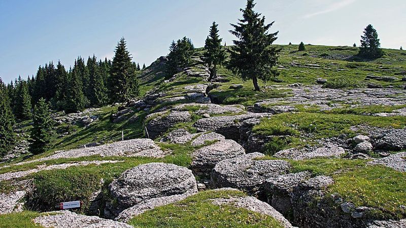
On the way back go towards passo Campedello and, through a convenient mule track, you will wander Cima Alta on the north side until reaching passo Vaccarezze. From here on, by following the mule track on the right you will reach a crossroad with an open to heavy traffic street which climb until Forte Rivon.
Gallery
Related
Nearby


EVENT IN EVIDENCE

Musica
L'eco della terra
Dal racconto contadino al tramonto in musica con l'autore Giuseppe Dal Bianco, presso Az. Agr. In Costa al Sole. Evento...
Start: 11 Jul 18:30
End at: 11 Jul 20:00