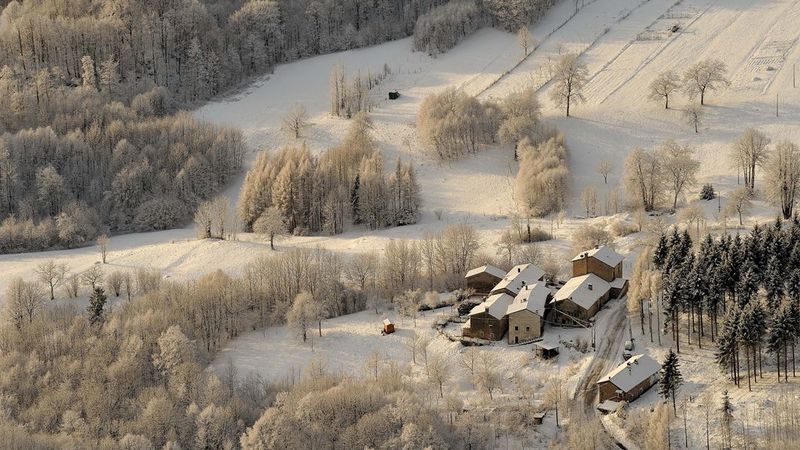
Hillside
Sentiero Natura
DETAILS
LENGTH
DIFFICULTY
DIFFERENCE
DISTANCE
- walks
- Adventure
- families
Description
Starting point: Bosco di Tretto (you can park at Osteria Birreria al Bosco - consider that it is a private parking).
The path is 5,9 km long, it develops along lanes and mule tracks which until few years ago constituted the only communication route for the inhabitants of the area. The elevation gain is of 350 metres. It takes almost 3 hours but it is advisable to consider more in order to enjoy the elements the path offers.
Starting and arrival points are placed in the hamlef of Bosco di Tretto and they are indicated in message boards. Along the path, in addition to a specific white blue report, there are tables which indicate the main points of interest that help excursionists to orient.
Brief description of the path
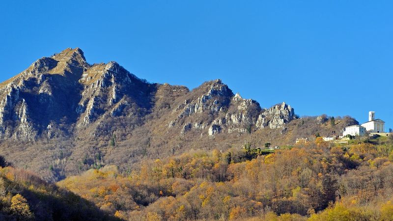
The first stretch clims in a moderate slope until reaching the local road which leads to Alba district. Once reached the town, cross it before starting the descent through a shortcut in the woods towards Zaffonati district. At the end of the woods you will find meadows and pastures while the view will open over the plains below.
Go down along the panoramic trail which descends Cisele district first, and then Zovi and Ballare ones. From this last begins the last stretch of the descend which leads at the lowest point of the path: Valle dell'Orco. This is probably the "wildest" and fascinating point of the excursion. Start climbing again towards Romare district: here there are meadows, partially cultivated.
Costa district is the last town crossed by the path, before entering the trail which leads straight to Bosco di Tretto and closes the circle path.
It is undoubtly an exiting excursion which combines amazing natural landscapes (woods, meadows, pastures, valleys and streams) with rural elements which testify to the human settlement capable of respecting the terriory and its resources over the time.
Related
Nearby

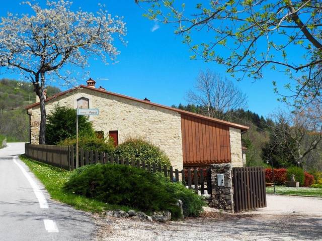
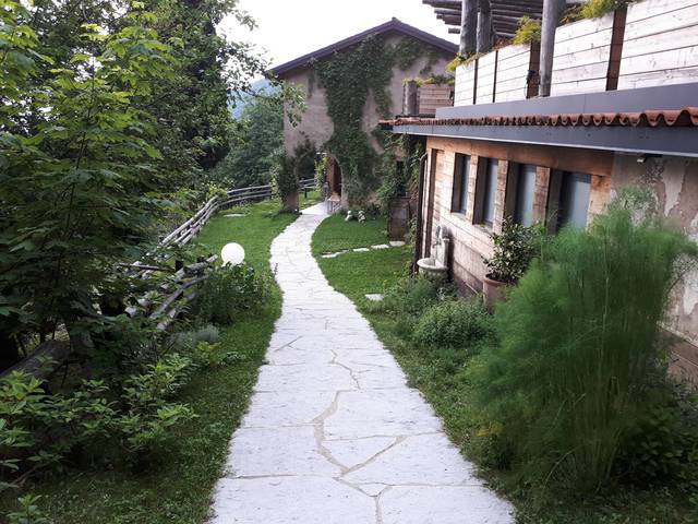
Alloggio Turistico e Ristorante Vegetariano DAMARCO al Cerbaro

EVENT IN EVIDENCE
Promotion
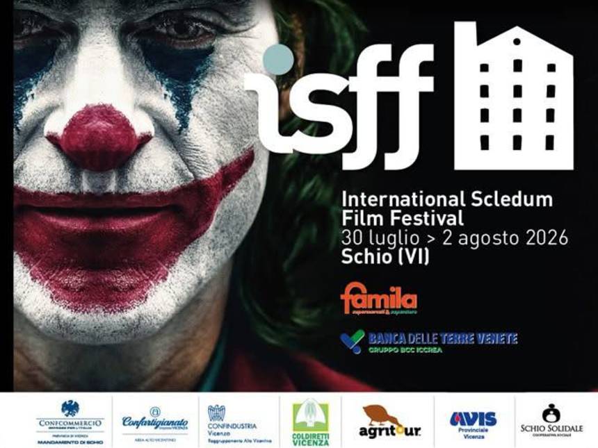
International Scledum Film Festival
II° Ed. Festival unico nel suo genere, dove l'arte del costume prende vita attraverso un ricco programma di sfilate tematiche,...
Start: 30 Jul 17:30
End at: 02 Aug 23:59