Mountains and First World War
First World War Ecomuseum
DETAILS
LENGTH
DIFFICULTY
DIFFERENCE
- Excursion
- walks
- mountain
- great war
- Historical itineraries
Description
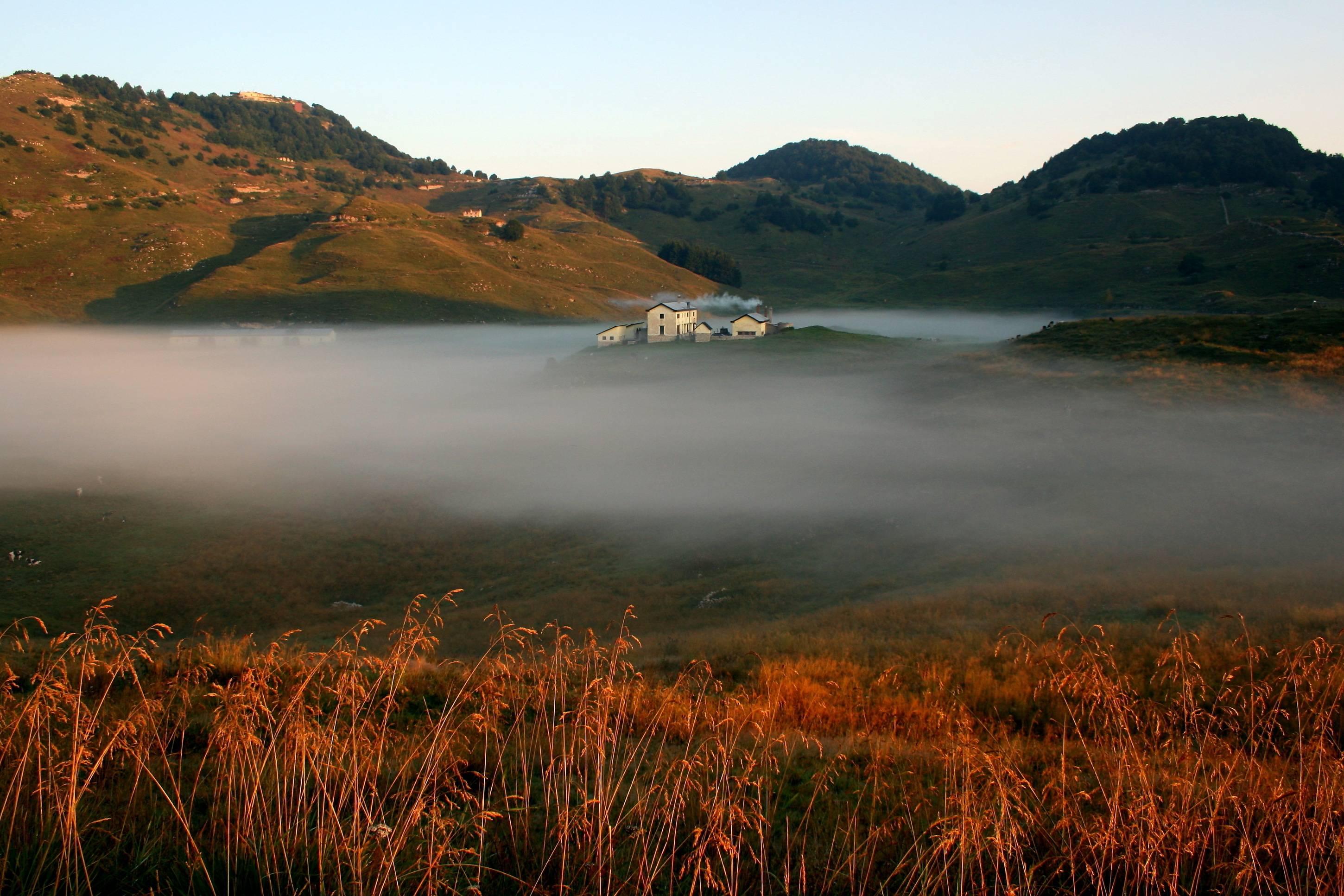
FROM BUSA NOVEGNO TO FORTE RIVON THROUGH MONTE CALLIANO
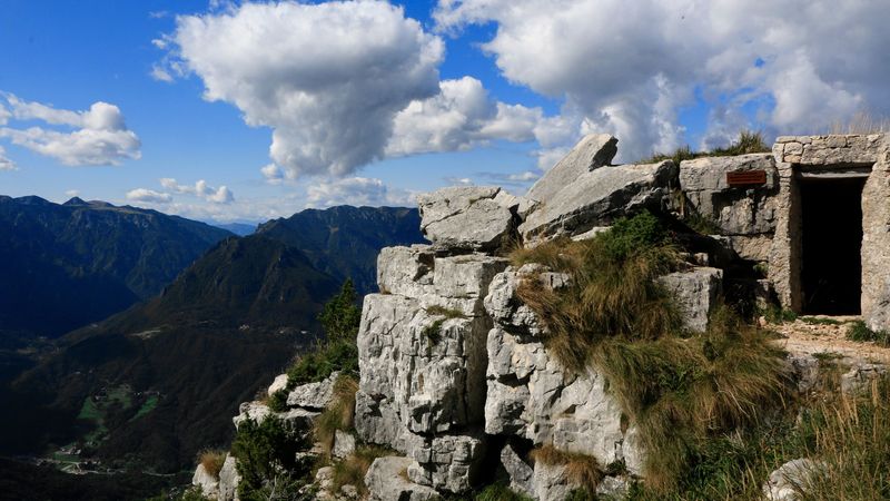
This path regards, from a historical point of view, different places connected in an unique defensive system: Monte Calliano, characterized by a fortified rocky mole, with artillery positions and the castling muleteer to Forte Rivon. Once you have left the carpark and reached busa Novegno, in the vicinity of Pozza Longa, turn left and, after a stretch of paved road, take on the grassy mule track.
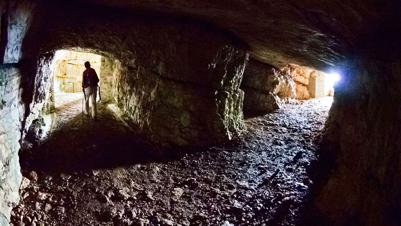
Still walking along a gentle slope, crossing bushes, keep going towards the fresh and relaxing undergrowth with firs and beeches, to enter the Calliano galleries.
The beauty, the importance and the military role of this fortified group are unquestionable; it dominates Val Leogra and monte Pasubio. From its artillery positions the shots which hit the "Dente Austriaco" were fired.
After the Calliano caves, go back to the mule track and, after a short climb, you will reach the fortified belt which connects monte Cogolo with monte Rione. Cross the gallery and go straight on the path, on the left you will find numerous caves. One of them, particularly original, opens towards the sky: here there was a big spotlight that, at night, thanks to a large winch, it flowed upwards and returned at sunrise. Before reaching cima del Rione you will enter a connecting gallery between the trench and the gunboat.
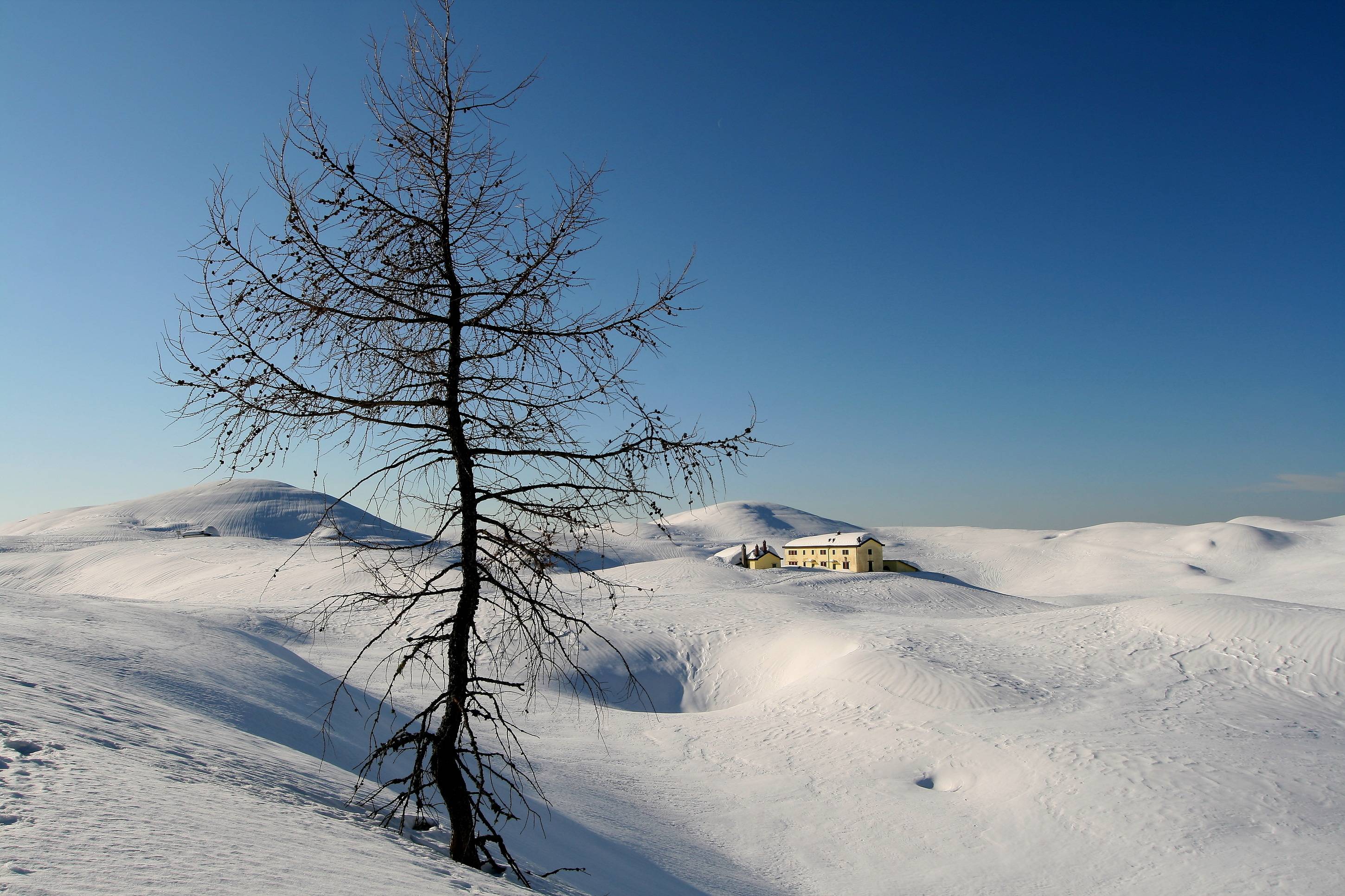
The path will cross, at the powder keg, the street that leads to Forte Rivon, which is placed on the highest peak of Novegno's area.
Gallery
Related
Nearby


EVENT IN EVIDENCE

Meetings
Aperitivo Blu
Reading musicato sui canti delle balene con la guida escursionistica Michele Ferretto di Biosphaera scs, presso Ristorante DaMarco. Evento facente...
Start: 31 Jul 20:00
End at: 31 Jul 21:00